Cross Disciplinary Series: Topographical Survey
 Presented by: Kevin Riddell
Topics covered in this webinar include:
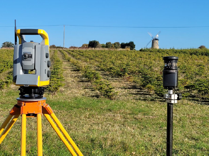
• Methods of data capture
• Datums, arbitrary vs Ordnance Survey & site levels/ grids
• Survey accuracy & what features would typically be shown
• Boundaries (legal vs physical)
• How to brief a surveyor, what to ask for, typical fees
• Working with .dwg files and how to check if you’re at the right scale
A bit about me:
I’ve been in the geomatics industry for 23 years and started out as a land survey assistant working my way up through the business to included measured building & heritage surveys, boundary surveys, through to managing survey teams to becoming Managing Director of Ground Surveys Ltd.
_________________________
Please note - this CPD will be recorded and may be made available in the SGLD Shop. By purchasing a ticket for this event, you agree to participate in a recording that may be made available for purchase. Your personal data will be processed in accordance with our privacy policy, a copy of which is available here.
If you do not wish to be on the recording, please turn off your camera and change your name by clicking on 'Participants' then on the three dots next to your name to 'rename'.